
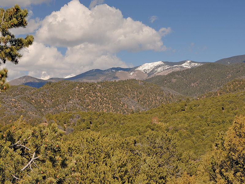
When the Santa Fe Trail travelers found their destination at the Plaza in old downtown Santa Fe, they just completed a length journey across the great plains of the northern American continent. And by far the most arduous and difficult part of the journey was the last 60 miles into Santa Fe. Passing through mountains just before arriving, they must have left some clues behind for the names of the neighborhoods and roads southeast of Santa Fe reflect those days. Double Arrow Road, Overlook, The Ridges, Apache Plume, Nine Mile Road, Bobcat Bite, Hondo Hills, Raven’s Ridge, Seton Village, Sunlit Hill, and Arroyo Hondo all ring of events long ago when fast travel was nonexistent. All of the entrances to Santa Fe from the southeast include the word Old, like Old Pecos Trail, Old Santa Fe Trail and Old Las Vegas Highway. A little further out of town is the Old Denver Highway, just in case you had a full tank of gas and were getting an early start. Just outside of town the Arroyo Hondo area has spectacular large country homes on large tracts of land, yet is as close to town as the Opera is on the north side. An old single track airstrip among the prairie grasses still welcomes the occasional small prop plane. With the Santa Fe Southern rail line running south and east through this area toward Lamy, mountain bikes abound along the rails to trails route. If you are in the hills, on a mountainside close to National Forest, you might have a view ranging from 20 miles to 100 miles.
